Drones are powerful tools that are changing industry after industry. And, as drones rise in prevalence and usage, so does drone terminology. For any aviators wondering about a certain phrase or word, we’ve compiled a list of some commonly used terms you might want to know before you start to fly.
RTK (Real-Time Kinematic)
A technique that uses carrier-based ranging, RTK provides more precise ranges and positions than code-based positioning. RTK positioning is accurate to approximately one cm.
UAS (Unmanned Aircraft System)
A UAS or Unmanned Aircraft System is an aircraft being controlled by an operator on the ground. A drone is a UAS, as the pilot is not in the craft, but guiding its course on the ground.
Accelerometer
An accelerometer measures acceleration – fast changes in movement. When talking about accelerometers in drones, we generally refer to how a flight controller will use an accelerometer for flight stabilization.
AGL (Above Ground Level)
AGL means above ground level and it refers to the altitude above ground immediately under a UAV. If a drone is flying above a hill, the AGL would take the height of flight and subtract the height of the hill. So, flying 50 feet above a 30-foot hill would mean an AGL of 20 feet.
Collision/Obstacle Avoidance
The collision or obstacle avoidance system is a visual system which allows UAVs to detect obstacles. These types of vision systems also help the UAV avoid collisions.
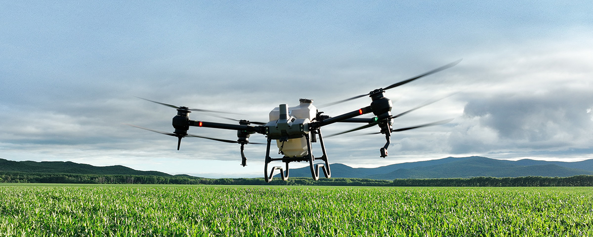
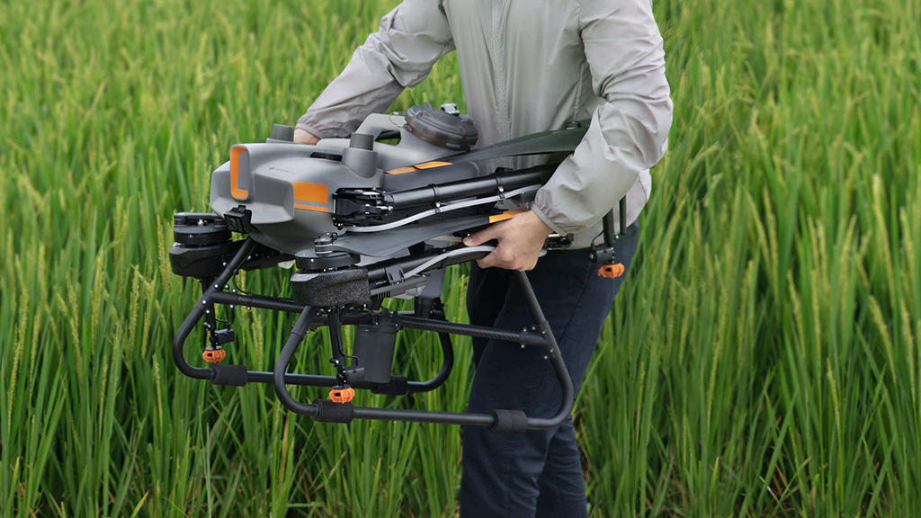
Commercial Drones
Commercial drones are drones designed for heavy use, generally with such specific purposes in mind as infrared inspection, gas detection, or search and rescue.
DJI Drone Flight Modes
Intelligent Flight Modes help pilots control and maneuver aircrafts for higher-quality videography and photography. These types of flight modes also help keep both pilots and their aircraft safer.
S Mode
S Mode is also known as Sports Mode, which allows drones to fly twice as fast.
P Mode
P Mode is the standard flight mode most pilots use. All sensors on the drone are active in P Mode to allow for precise hovering of the drone.
A Mode
A Mode is also known as Atti Mode or Attitude Mode. In A Mode, the drone will maintain its altitude but not its position, allowing for the drone to be flown around at the same height.
Electromagnetic interference
Electromagnetic interference is a disruption to the operation of an electronic device caused by proximity to metal, magnets, power lines, or cell towers.
Field of View (FOV)
The FOV or field of view describes the viewing angle from the camera of the drone.
Firmware
Firmware is the software inside the drone’s flight controller, batteries, or remote controller. When using a drone, it’s important to ensure that the firmware is up-to-date. Manufacturers deploy firmware updates to fix bugs, introduce new features, improve existing features, and protect from security vulnerabilities.
Fixed wing drones
To travel greater distances with less power, some UAVs use fixed wings. These wings remain fixed in position, generating lift via aerofoil and a small push propeller. With less power used on the wings, the drones can fly farther.
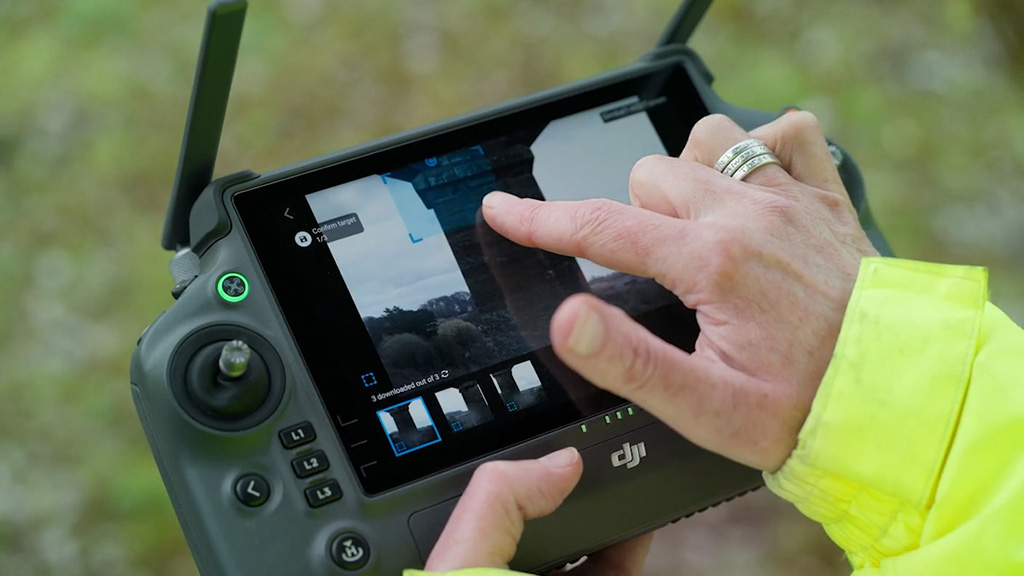
Flight Controller
The flight controller receives inputs from the sensors and the remote controller of the device. After the data has been received, it directs the motor and other drone parts on how to move.
FPV (First Person View) Drone
A first-person view or FPV drone allows the operator to pilot a drone through a camera located on board. Combined with virtual-reality goggles, the pilot will see the drone camera footage in real-time in front of their very eyes.
Geofencing
Geofencing occurs when a virtual geographic boundary is established. In the case of drone piloting, a geofence prevents drones from flying into specific areas or beyond certain boundaries.
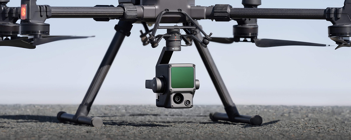
Gimbal
A gimbal is created when two or three axes are stabilized with fine-tuned motors. This process stabilizes the camera or other equipment, keeping it level even when it’s moved around.
Gyroscope
A gyroscope is a piece of technology used to maintain and measure level orientation. Gyroscopes are connected to the flight controller and help maintain stability during flight.
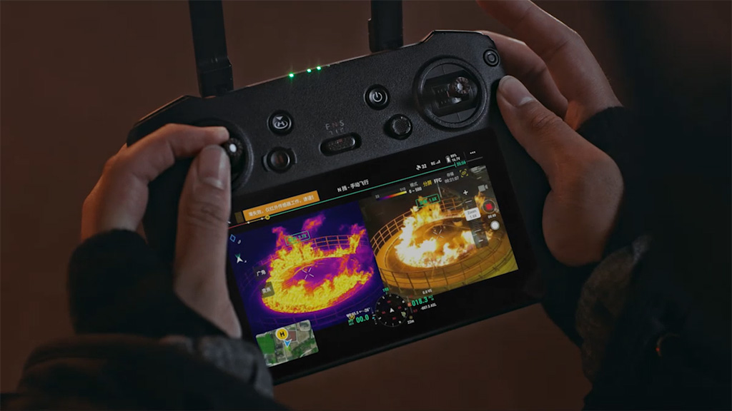
Infrared Drone/UAV
When an unmanned remote-controlled aerial vehicle – often a drone – is equipped with infrared imaging technology, it’s called an infrared drone or UAV.
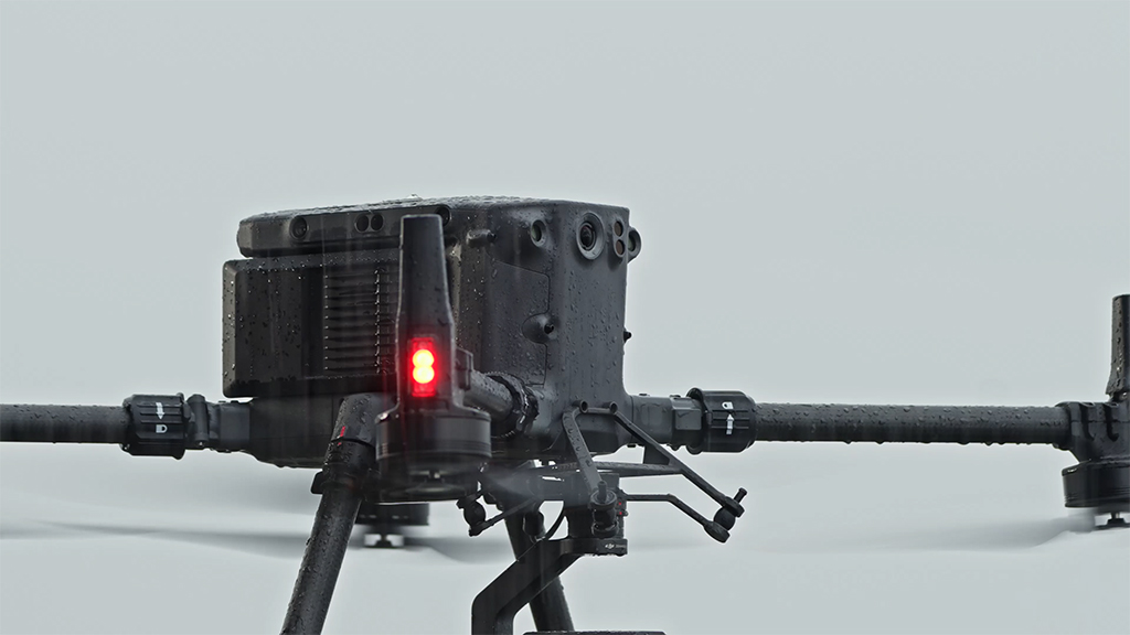
IP Rating
IP ratings are given to devices to classify the degree of protection against water and dust an electrical enclosure maintains.
Yaw
Yaw describes the movement of a drone, specifically its movement as it orbits from right to left.
Waypoints
Waypoints are coordinates at a specific point in space. Waypoints are stitched together to determine a drone’s flight path.
Trim
The trim describes buttons on the remote control in charge of changing the roll, pitch, yaw, and throttle.
TFR (Temporary Flight Restriction)
As the name implies, TFRs or Temporary Flight Restrictions are temporary notices of restricted airspace in a specific area. This can be due to special events, natural disasters, or other unusual occurrences.
Roll
Roll describes the movement of a drone’s sides as they rise up and fall down.
Return to Home (RTH)
Home is a position given to the drone so it knows where to return to. When selecting an RTH or return-to-home function, the drone will return to its home position. RTH will also be triggered if battery power is low or the signal from the transmitter is lost.
Propeller
Propellers are angled blades equipped on a drone. These control the lift or thrust of the drone while in flight.
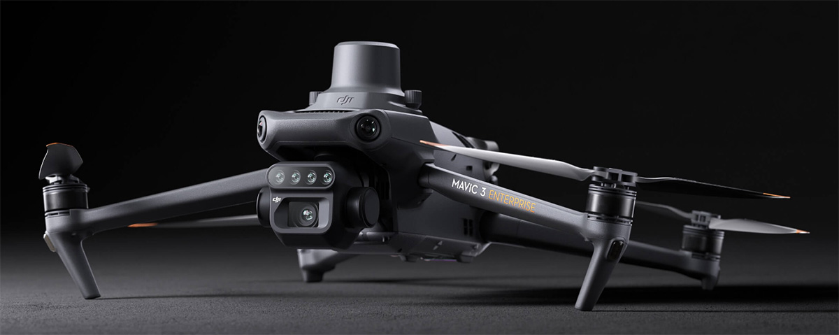
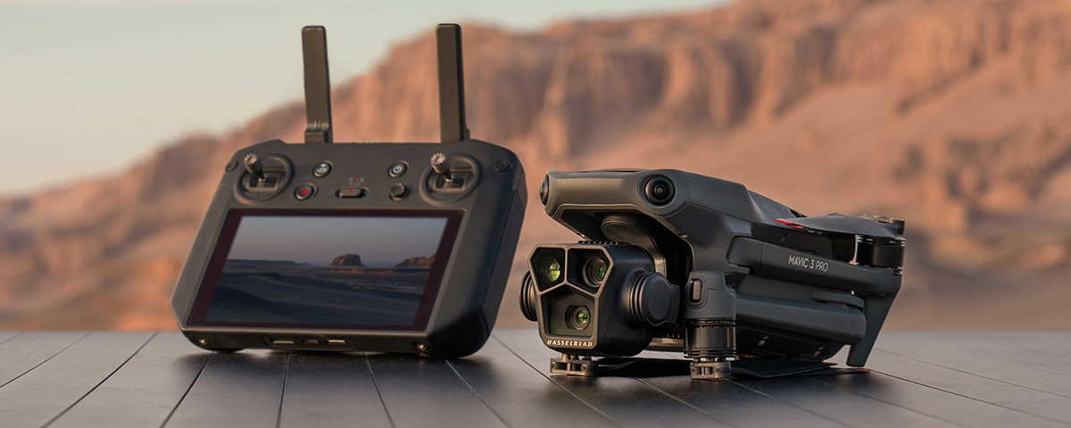
Professional Drone
Professional drones are high-end UAVs, generally equipped with the latest technologies and imaging sensors. This also describes drones used by professionals, including videographers, photographers, and other industry experts.
Pitch
The pitch describes the movement of the front of the drone.
PIC (Pilot in Command)
The PIC or the Pilot in Command is the person in charge of the flight and controller of the drone.
Photogrammetry
Photogrammetry stitches photographs together to make one large image while surveying and mapping large areas by drone.
MSL (Mean Sea Level)
MSL or Mean Sea Level expresses how high an aircraft is above sea level.
Ready to Learn More About Drones?
Contact our team of professionals to learn precisely how drones can benefit your specific needs.
We offer free consultations as well to guarantee you receive the right advice for your specific drone needs.
Let’s get started!