How Does Drone Technology Assist the Aerial Surveying & AEC Industry?
Drones are streamlining industry after industry, and aerial surveying is an industry made for drone application. Surveyors, engineers, and construction businesses are quickly adopting drones into their workflow to find increased efficiency, reduced costs, and increased ROIs.
Traditional surveying methods take days or weeks to receive the results you need. Drones can reduce that time cost drastically, delivering accurate results faster. Depending on the project, some results can be fully realized within a matter of hours.
Key Benefits of Drone Technology for the Aerial Surveying & AEC Industry
Enhanced Project Efficiency
Increase the efficiency of your geographic information collection using drone solutions. Drones streamline data processing on projects, as well, meaning you get the results you need quicker and easier.
Reduced Equipment & Labour Costs
Save on equipment and labor costs by automating data collection and analysis with drone and software solutions. Since jobs can be completed faster from the air, your team can be better employed elsewhere.
Standardized Deliverables for Your Clients
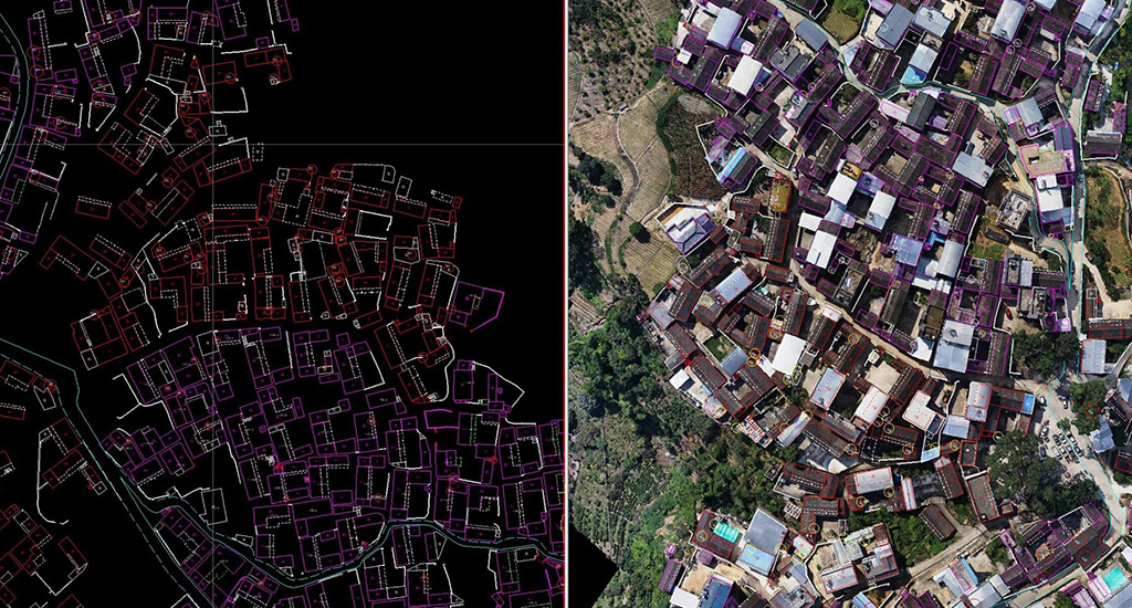
Gain accurate aerial data to create industry-standard deliverables like DSM, DOM, and 3D models with drone and software solutions.
Drone Technology is Used In:
- Cadastral Surveying
- Land-Cover and Land-Use Change
- Topographic Surveying
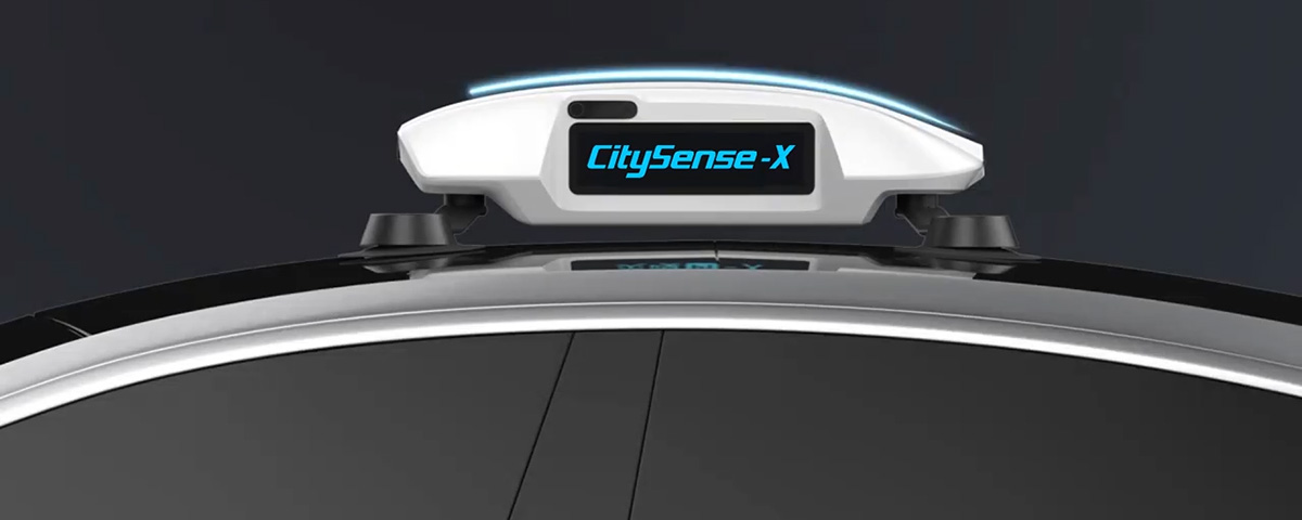
- City Modeling
- Urban-Rural Classification
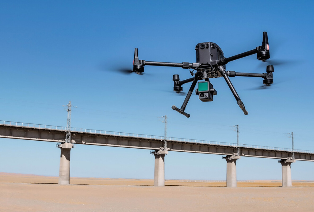
- Corridor Mapping Inspection
Effective Drones & Tools
-
Mavic 3 Series
-
Mavic 3 Series
Undeniable Performance for Smarter Work
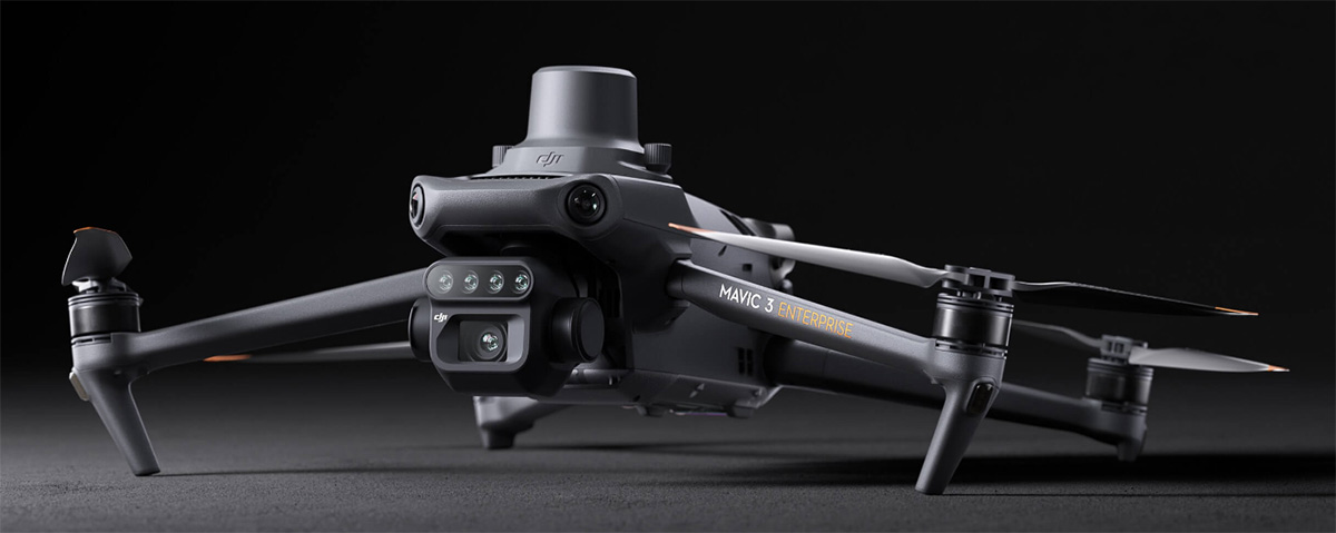
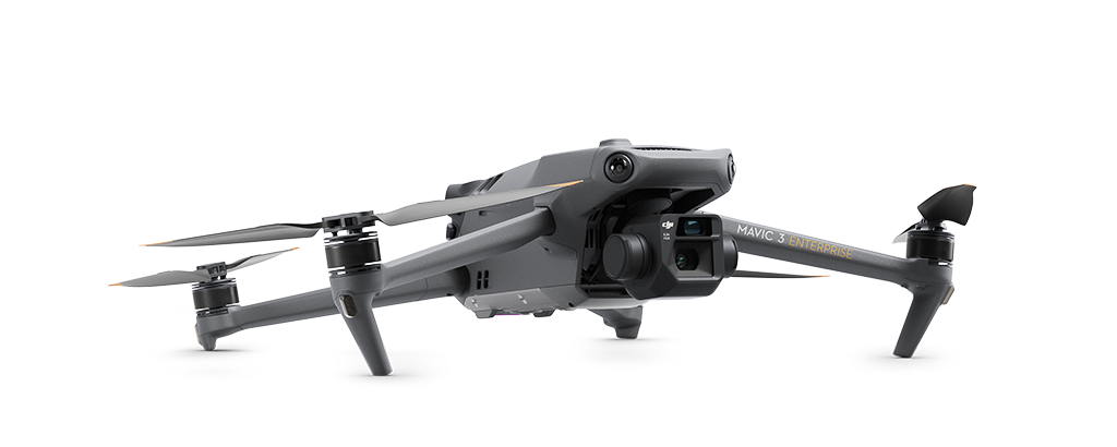
The Mavic 3 Enterprise (3E) drone is tailored for mapping and mission applications, making it an ideal choice for firefighting, search and rescue, inspection, and night operations, as well as other industries.
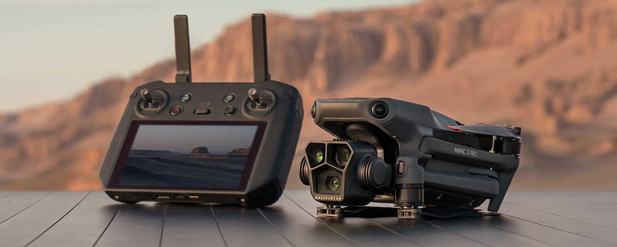
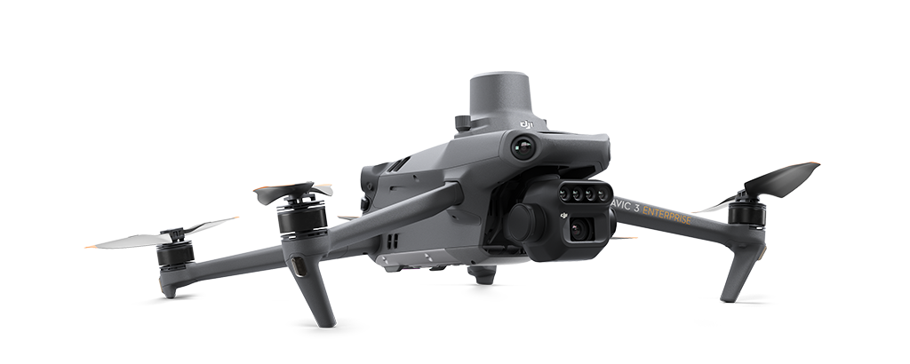
The Mavic 3 Multispectral (3M) drone is tailored for the agriculture and natural resources industries while retaining applications that can be used across a number of other business types.
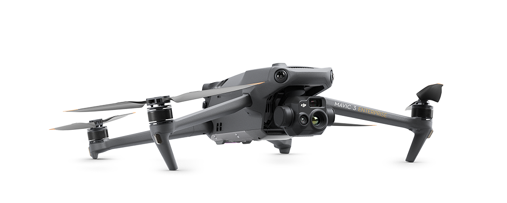
The Mavic 3 Thermal (3T) drone is tailored for public safety, inspection, search and rescue operations, and other industrial and commercial applications.
-
Matrice 350RTK
-
Matrice 350 RTK
The Powerful, Innovative Drone Platform
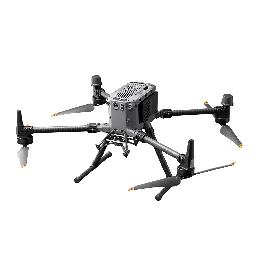
The next-generation drone platform is here. The Matrice 350 RTK is an upgraded flagship drone platform
-
Matrice 300RTK
-
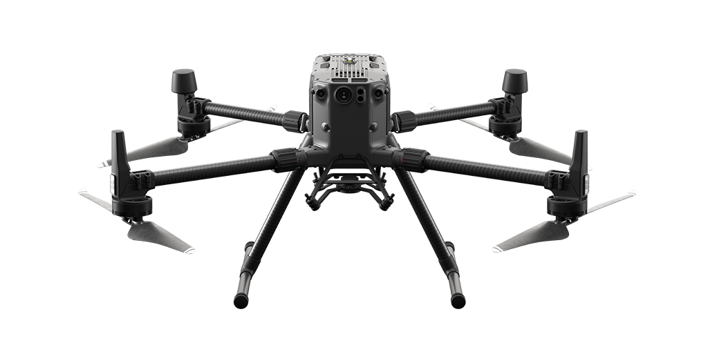
Matrice 300 RTK
Built Tough. Works Smart.
The M300 RTK is DJI’s latest commercial drone platform that takes inspiration from modern aviation systems.
-
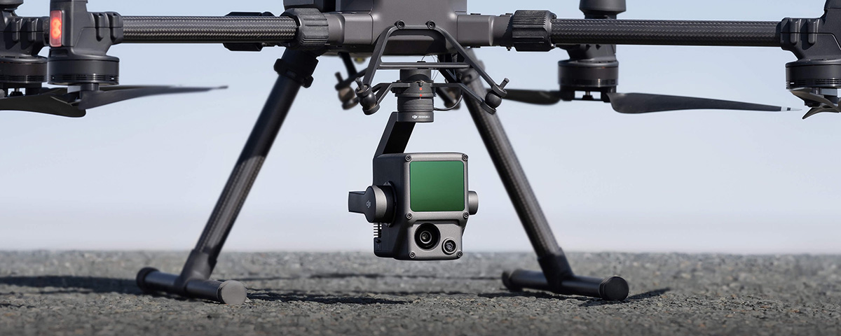
Zenmuse P1
-
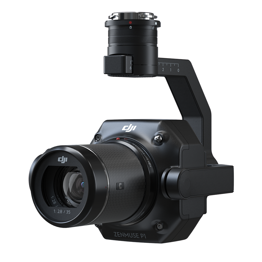
Zenmuse P1
Efficiency Through Flexible Full-Frame Photogrammetry
The Zenmuse P1 integrates a full-frame sensor with interchangeable fixed-focus lenses on a 3-axis stabilized gimbal. Designed for photogrammetry flight missions, it takes efficiency and accuracy to a whole new level.
-
Zenmuse L1
-
Mavic 3 Series
Undeniable Performance for Smarter Work
The Mavic 3 Enterprise (3E) drone is tailored for mapping and mission applications, making it an ideal choice for firefighting, search and rescue, inspection, and night operations, as well as other industries.
The Mavic 3 Multispectral (3M) drone is tailored for the agriculture and natural resources industries while retaining applications that can be used across a number of other business types.
The Mavic 3 Thermal (3T) drone is tailored for public safety, inspection, search and rescue operations, and other industrial and commercial applications.


Matrice 350 RTK
The Powerful, Innovative Drone Platform
The next-generation drone platform is here. The Matrice 350 RTK is an upgraded flagship drone platform

Matrice 300 RTK
Built Tough. Works Smart.
The M300 RTK is DJI’s latest commercial drone platform that takes inspiration from modern aviation systems.

Zenmuse P1
Efficiency Through Flexible Full-Frame Photogrammetry
The Zenmuse P1 integrates a full-frame sensor with interchangeable fixed-focus lenses on a 3-axis stabilized gimbal. Designed for photogrammetry flight missions, it takes efficiency and accuracy to a whole new level.

How TurnTech Solutions Can Help You Integrate Drones Into Your Industry
With all the benefits drones bring to aerial surveying and AEC, it’s no wonder businesses have come to us asking which drone is right for them. Investing in new technology can be intimidating, and with so many options it can be overwhelming when it comes time to make a choice.
Our goal is to understand your business so we can provide you with the best options that will increase your efficiency, provide better data and streamline costs.
